
Toddington Parish Council maintains a number of recreational areas and other open spaces in the village.
Luton Road
3.875 acres of land on the north east side of Luton Road (formerly known as Walkers Close). The site primarily comprises level and open land (with a marked football pitch), a fenced children’s play area, tennis facilities, Multi Use Games area and Fitness equipment.


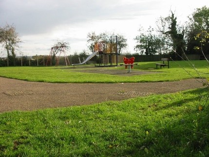


Russell Road Play Area
A small area of land at the north western perimeter of Toddington, at the south western ends of Frenchman’s Close and Russell Road, butting on to farm land. A fenced children’s play area, with pedestrian access via footpaths from Frenchman’s Close and Russell Road.

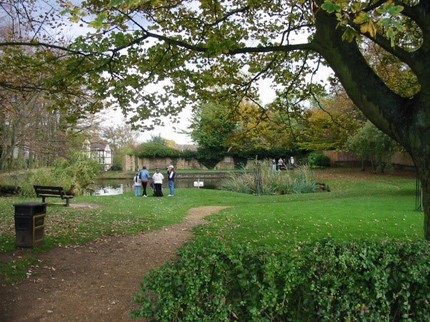
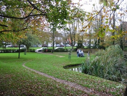
Memorial Gardens and Village Pond
Landscaped area and pond to the east of the High Street, between the junctions with Wentworth Gardens and Luton Road

Village Green
The central feature of Toddington, and a home for stalls, fêtes, concerts, religious services and the like.
It consists of various parcels of open land to the east and west of the A5120 between Church Square and Luton Road, on which stand the Village Pump, an ornamental bus shelter, the Village Sign, the War Memorial and leisure seating.


The Glebe
9.73 acres of land to the west of the A5120 (Dunstable Road) at the southern perimeter of Toddington, with pedestrian and controlled vehicular access from Dunstable Road and pedestrian access from Willow Way

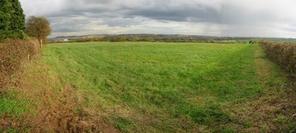
Crowbush – Public Open Space
9.162 acres of agricultural land at the south west perimeter of Toddington. Pedestrian access is via Footpath 60 alongside garages on South side of Bradford Road and Footpath 68 from Bradford Way. There is vehicular access along the tarmac drive adjoining the B579.
Cemetery
Two parcels of consecrated land to the south of the A5120 at the conjunction of Station Road and Harlington Road, with vehicular and pedestrian access. There is additional pedestrian access via a gate at the south western corner of the site alongside the public footpath leading from Station Road to Conger Lane.
As well as burial plots and a Garden of Remembrance, the site contains a small car parking area and a groundsman’s store.
